We stopped in the tiny village of Holasovice for a traditional Czech lunch of pork, dumplings, potatoes, and pancakes for dessert.
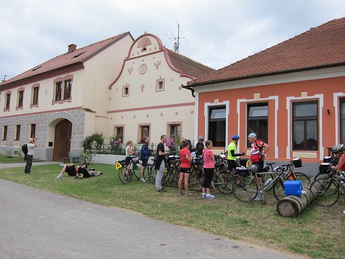
Then the ride route took us up into some serious hills. The biggest climb of the trip was optional: Mt. Klet, at 3600 feet. We were already about 1000 feet up so the total elevation change for us was roughly 2700 feet. I wasn't sure I was going to attempt it. I'd struggled up a small incline just after lunch and I didn't think my body was ready for a 15-kilometer climb. (Backroads lists all their distances in kilometers; I'll use km for distance and feet for elevation because I'm American.) Then I caught up to Bob, a fellow tour rider, and he talked me into it. We had Backroads vans supporting us with water and snacks, and guides ready to bail us out if necessary. Besides, I ride up steep hills in Central and Prospect Park all the time. How bad could a whole mountain be?
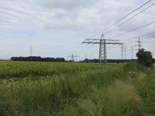
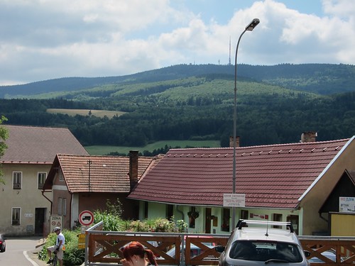 |
| We're headed to that antenna in the distance. Bob is on the lower left. |
As we rode up the gradual incline, Bob started out on a slower pace than I'm used to, so I slowed down to match him and put my bike into the "granny" gear. This was the right decision, as it forced me to pace myself and not burn up all my energy too soon. And since we were keeping each other company we talked most of the way, another tactic that forced us to slow down.
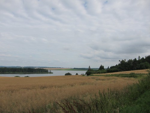
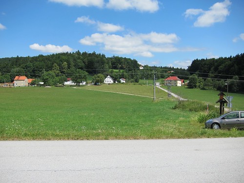 |
| The little road on the right leads to the summit of Mt. Klet. |
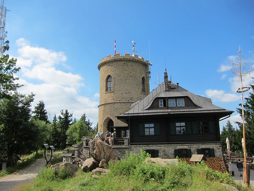
The official ride route stopped about 3 km from the summit, though it indicated the way to the summit. We decided that since we'd made it that far, we had to ride all the way to the top. As we neared the summit, another rider, Doug, came down the path toward us. He said he'd ride back up with us, saying he could use another beer. I assumed he meant later that evening at the hotel. Our van support driver had told us that she couldn't drive up the path to get us more water so I thought that meant no cars on the path. But we'd seen a few cars coming back down the path, so I was confused. When we finally reached the summit a few minutes later I understood everything. There was a small restaurant at the top, with a parking lot and scooter rentals.
As we were about to get our celebratory beers, one of our Backroads guides and another cyclist from the tour joined us so five of us toasted reaching the summit.
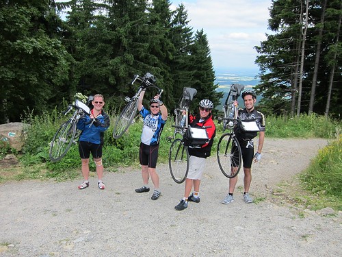 |
| Al, Doug, Bob, and I at the summit of Mt. Klet |
Someone suggested we put our jackets on for the descent. Despite the heat of the day, with the altitude, the shade in the forest path, and the speed of our descent, I would have been really cold on the way down without another layer. The ride down was utterly thrilling. I've never experienced a descent like that before. It was like my own little mountain stage of the Tour de France, complete with hairpin turns.
It was our first of two nights in Cesky Krumlov, and we celebrated another successful day on the bikes with a beer tasting at a local tavern and dessert at a nearby cafe.
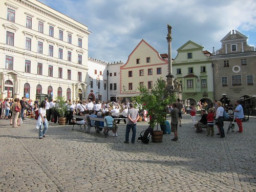 |
| The town square in Cesky Krumlov |
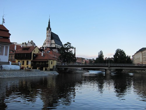 |
| The view from the cafe |
No comments:
Post a Comment